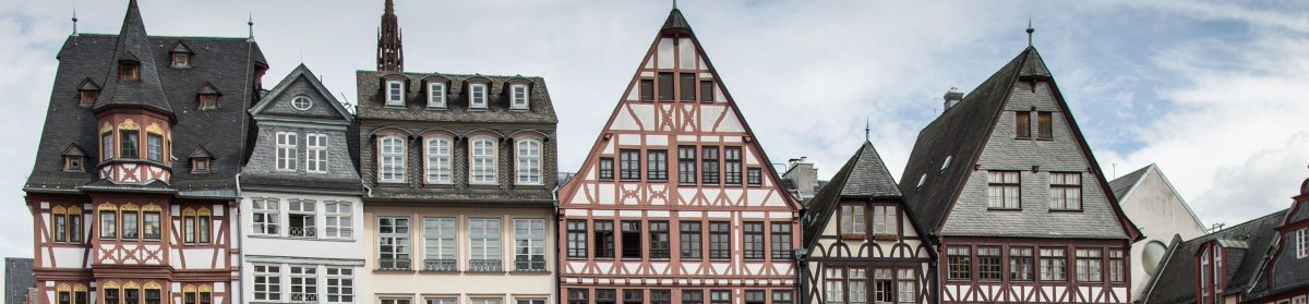
Wertheim is in the confluence of the Main and Tauber rivers, the town is in a triangular shape with water on 2 sides (the land between the rivers coming together, a little wedge of space).

We came out of the organ concert into a small plaza by the church. The locals were friendly and helpful (when they saw us with a map). They told us to go up the hill first to the castle ruins overlooking the town. On the way up to the castle, we stopped at this very old chapel, Kilian’s Kapelle, (below on the right).


The big yellow church is on the left and the plaza is down below.

Then we continued up the trail to the castle ruins.


I would like to go into that little room on the spire tower.


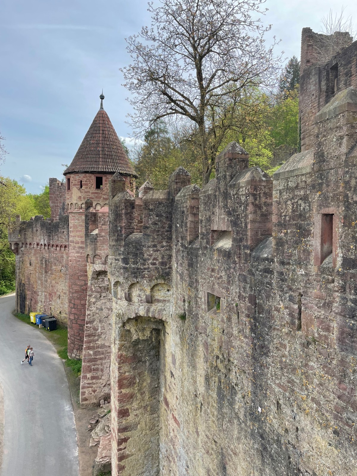
The castle (Burg Wertheim) was used in the 15th-17th century by the local counts. It has a deep moat and impressive bulwark. It was partly destroyed in 1618 during the 30 Years’ War. Now it’s used for cultural events. We didn’t pay a bit extra to hike the ruins, we just wandered around them. There’s a nice restaurant on top overlooking the town, and nice views.

The stones fascinate me.

This is looking down on the palace (not open).


Here’s an aerial view of the castle.


A look at the yellow Collegiate church below.


